Combining Geocaching and Hiking: The Practical Guide

Combining geocaching and hiking means actively searching for hidden containers along hiking trails using GPS technology, thereby experiencing nature more consciously. Both activities complement each other naturally: hiking provides the route and the nature experience, while geocaching gives each kilometer a specific goal. The German Hiking Institute already certifies premium trails that integrate interactive geocaching stations firmly into the route. Those who combine hiking with a treasure hunt move more, discover places off the beaten path, and rarely return home without a good story.
How can you combine geocaching and hiking?
Planning determines whether a combined tour is fun or a test of patience. The first step is to choose a hiking trail where caches are already located. Many premium hiking trails offer so-called hiking multis, multi-stage caches where each station provides new coordinates for the next. A concrete example: The Genießerpfad Viadukt- und Schluchtentour in the Black Forest covers 12.5 km and 323 meters in elevation with up to 91 experience points, certified by the German Hiking Institute.
Cache Types and Their Role in Hiking
Not every cache fits every tour. For beginners, traditional caches are best because they lead directly to the coordinates without puzzles or intermediate stations. Multi-caches extend the search over several points and are well suited for longer hikes because they structure the route. EarthCaches do not require a physical container but geological observation on site, making them particularly attractive for nature-loving hikers.
For tour planning, the following procedure is recommended:
- First choose a hiking trail, then filter suitable caches along the route, not the other way around.
- Check cache difficulty and terrain rating: The scale ranges from D1/T1 (easy, flat) to D5/T5 (very difficult, climbing equipment required).
- Limit the number of caches: Five to eight caches on a day route is realistic without rushing the hike.
- Download offline maps, as mobile reception is often poor in gorges or forests.
Pro Tip: Download GPS tracks and cache listings before the tour and compare them with current terrain information. Outdated stations on hiking multis can otherwise disrupt the entire route.
What challenges and safety aspects are there?
The biggest challenge when hiking with geocaching is the pace. Those who simultaneously search for caches on a technically demanding route easily lose focus on the terrain. The Calmont Klettersteig on the Moselle demonstrates this well: spectacular nature and exciting caches, but when wet, every step becomes a real challenge. Concentration on the path always takes precedence over searching for the cache.
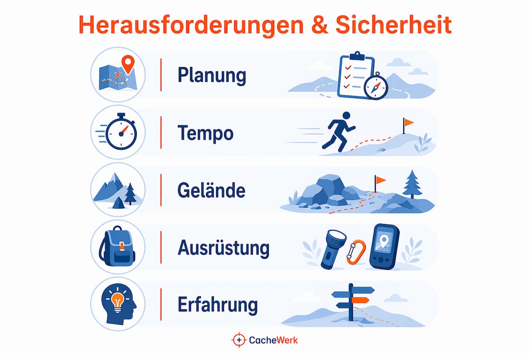
Safety with T5 Caches and Climbing Caches
T5 caches are the most challenging category. They require rope equipment, climbing skills, and often an experienced partner. Those who want to tackle these caches should attend a specialized course beforehand: Two-day courses for T5 caches cost around €140 and teach DAV Toprope technique and rope installation. These courses are offered in spring and autumn and require basic physical fitness.
Important safety rules for combined tours:
- Read cache attributes in the listing: Each listing indicates whether climbing equipment, rope, or special skills are required. Attributes and equipment must be checked before starting.
- Watch the weather: Wetness significantly changes the difficulty and risk of slipping on rocks or root paths.
- Realistically assess GPS accuracy: Smartphones and GPS devices provide an accuracy of about 10–20 meters. This means: slow down at the destination and actively search the surroundings instead of blindly following the arrow.
- Observe nature conservation: Geocaching etiquette requires discreet behavior, consideration for plants and animals, and avoiding attracting attention from uninvolved parties.
Pro Tip: Experienced cachers slow down near the target and search based on unusual structures such as cairns, tree stumps, or striking rock formations. Those who only stare at the GPS arrow often do not find the cache.
What equipment do you need for geocaching hikes?
Geocaching for beginners is possible for free: a smartphone with an app like Groundspeak or c:geo is completely sufficient for getting started. Smartphone apps allow for free entry and offer flexible use on all common operating systems. Those who are more often and in more challenging terrain benefit from a dedicated GPS device with longer battery life and better satellite connection in the forest.
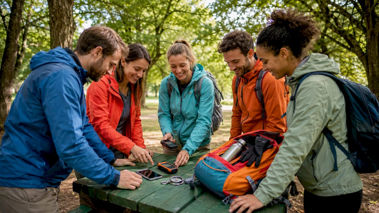
Basic equipment for the combined tour
The following order shows what is really needed:
- Smartphone or GPS device with loaded offline maps and downloaded cache listings.
- Pen for signing the physical logbook of the cache. Many caches have tiny log strips; a thin ballpoint pen is a must.
- Own logbook or notebook for notes on coordinates and hints for multi-caches.
- Trade items for caches with a trading post: small, weatherproof items of similar or higher value than what is found.
- Hiking equipment suitable for the terrain: sturdy shoes, rain and wind protection, sufficient water and provisions.
For technically demanding tours with T5 caches, climbing equipment is added: rope, harness, carabiners, and helmet. This category should not be attempted without appropriate knowledge.
| Equipment Area | Recommendation for Beginners | Recommendation for Advanced |
|---|---|---|
| Navigation | Smartphone with c:geo or Groundspeak | Dedicated GPS device with topo maps |
| Cache Tool | Pen, small notebook | Pen, tweezers for nano-caches, mirror |
| Container | PETling with logbook | Weatherproof box, own trade items |
| Clothing | Sturdy hiking boots, rain jacket | Climbing equipment for T4/T5 caches |
| Bag | Small backpack | Crossbody bag for quick access |
Those looking for a GPS guide for finding and hiding caches will find concrete practical tips for GPS handling in the field at Cachewerk.
How can geocaching be designed for groups and families?
Geocaching combined with hiking works particularly well in groups because the treasure hunt generates natural communication. Everyone brings different strengths: one reads the map, another solves the puzzle, a third is familiar with the terrain. Families with children benefit from the fact that traditional caches require no prior knowledge and lead directly to the coordinates. The first find often motivates children more than any other outdoor activity.
For companies, the combination of hiking and geocaching offers a clear advantage over classic seminars. Geocaching events strengthen team spirit more sustainably through nature experiences and communication under real conditions. Those looking for professionally organized outdoor team-building measures will find specialized offers for corporate groups with geocaching elements at teambuilder.de.
Specific options for groups:
- Family tour with Traditional Caches: Short route, simple caches, clear goal for children aged 6 and up.
- Group of friends with Multi-Cache: Divide tasks, work through stations together, find together at the end.
- Company event with guided tour: Professional organizers handle planning, safety, and moderation.
- Club outing with EarthCaches: Connect natural history themes, share knowledge, no physical find required.
Important for group tours is advance route planning. Too many caches on too long a route will overwhelm inexperienced participants. A rule of thumb: plan for a maximum of two caches per hour of hiking time, so there is enough time for searching, breaks, and conversation.
Key Takeaways
Combining geocaching and hiking works best when the hiking route is established first, caches are selected purposefully, and safety and nature conservation are consistently prioritized.
| Topic | Details |
|---|---|
| Route Planning | Choose hiking trail first, then filter suitable caches and download offline maps in advance. |
| GPS Accuracy | Smartphones provide 10–20 meters accuracy; slow down at the destination and actively search the surroundings. |
| Safety with T5 Caches | Two-day courses with DAV Toprope technique for around €140 are mandatory before the first climbing cache. |
| Group Tours | Plan a maximum of two caches per hour of hiking time to balance pace and fun. |
| Nature Conservation | Geocaching etiquette requires discreet behavior and careful reading of cache listings. |
What I've Learned After Years in the Field
I still remember my first combined tour well: a hiking multi in the Black Forest, 14 km, six stations, brilliant sunshine. At station four, an outdated sign had the wrong coordinates. I searched for an hour before reading the listing carefully again and finding the error. Since then, I check every listing twice before I set off.
What still surprises me today: most beginners underestimate how much time a single search can take. Fifteen minutes per cache sounds like little, but for eight caches, it's two hours added to the hiking time. If you don't account for that, you'll eventually be in the dark.
My honest advice for beginners: start with two or three traditional caches on a well-known hiking route. Not with a hiking multi, not with a mystery cache that needs to be solved beforehand. The first find should bring joy, not frustration. And for those who already have experience: try an EarthCache on a hike where you would otherwise just have walked through. The view of geology and landscape changes permanently as a result.
— Benedikt
Cachewerk: Equipment for the First Find
If you want to start geocaching on hikes, you don't need much, but you need the right things.
Cachewerk offers specially assembled starter sets that contain everything essential for getting started. The Geocaching Starter Bundle 1 includes a PETling, logbook, and holder, i.e., everything needed for your first own caches or searching on the go. If you prefer a different attachment, the Starter Bundle 2 offers an alternative with a suspension instead of a holder. For on the go, the Crossbody Bag for Geocachers is also recommended, which keeps GPS devices, pens, and small items within reach without opening the backpack.
FAQ
What do I need to start geocaching while hiking?
A smartphone with a free app like c:geo or Groundspeak is completely sufficient for getting started. Also, a pen and some patience when searching.
How accurate is GPS for geocaching?
Smartphones and GPS devices provide an accuracy of about 10–20 meters. At the destination, it helps to slow down and actively search the surroundings for typical hiding places like cairns or tree stumps.
Are T5 caches suitable for beginners?
No. T5 caches require climbing equipment and expertise in rope technique. Specialized courses with DAV Toprope technique for around €140 are the recommended preparation.
Can I combine geocaching with children on hikes?
Yes, traditional caches are ideal for families because they lead directly to the coordinates and require no puzzles. Short routes with two to three caches are well suited for children from about 6 years old.
How many caches should I plan per hike?
As a rule of thumb: a maximum of two caches per hour of hiking time. This leaves enough time for searching, breaks, and the actual nature experience.